

Ontario's weather has led to snowfall warnings and winter weather travel advisories for the province, including parts of the GTA.
Up to 20 cm of snow is forecast today along with reduced visibility and difficult driving conditions.
Environment Canada issued snowfall warnings and travel advisories from Lake Huron all the way to Ottawa for Friday, February 28.
With 15 to 20 cm of "heavy snow" expected, snowfall warnings are in effect for:
- Bancroft
- Barry's Bay - Killaloe
- Bracebridge - Gravenhurst
- Bruce Peninsula - Sauble Beach - Tobermory
- Cornwall
- Fenelon Falls - Balsam Lake Park - Northern Kawartha Lakes
- Haliburton - Minden - Southern Haliburton County
- Huntsville - Baysville
- Manitoulin Island
- North Bay
- Orillia
- Ottawa
- Parry Sound - Rosseau - Killbear Park
- Petawawa - Pembroke - Cobden
- Port Carling - Port Severn
- Sault Ste. Marie
- Sudbury
- Thunder Bay
The heaviest snowfall will be in the afternoon on Friday, which will likely impact commutes.
"Be prepared to adjust your driving with changing road conditions," Environment Canada said. "If visibility is reduced while driving, turn on your lights and maintain a safe following distance."
Environment Canada also noted that walkways and parking lots "may become difficult to navigate due to accumulating snow."
Winter weather travel advisories are in effect for:
- Vaughan - Richmond Hill - Markham
- Newmarket - Georgina - Northern York Region
- Caledon
- Orangeville - Grand Valley - Southern Dufferin County
- Pickering - Oshawa - Southern Durham Region
- Uxbridge - Beaverton - Northern Durham Region
- Owen Sound - Blue Mountains - Northern Grey County
- Barrie - Collingwood - Hillsdale
- Innisfil - New Tecumseth - Angus
- Saugeen Shores - Kincardine - Southern Bruce County
- Belleville
- Brockville - Prescott
- Cobourg - Colborne
- Lindsay - Southern Kawartha Lakes
- Peterborough
The winter weather travel advisory has warned of snowfall accumulations between five and 15 cm along with reduced visibility during "heavy snow."
It's forecast that snow will start around noon, but the heaviest snow will fall throughout the afternoon.
So, the afternoon and evening commutes are likely to be impacted by this winter weather.
"Be prepared to adjust your driving with changing road conditions. If visibility is reduced while driving, slow down, watch for tail lights ahead and be prepared to stop," Environment Canada said.
Toronto and other parts of the GTA like Brampton and Mississauga were briefly under a travel advisory but that has since been dropped.
According to a forecast from The Weather Network, flurries will continue through Saturday and temperatures across Ontario will plunge below freezing.
Winds off Lake Huron could also bring another five to 10 cm of lake-effect snow to London and the surrounding areas, and snowbelt regions!
Love this? Check out our Narcity noticeboard for details on jobs, benefits, travel info and more!
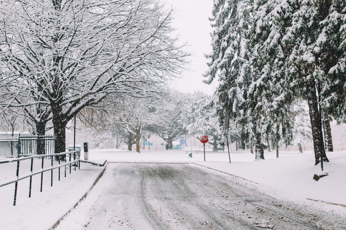
This article's cover image was used for illustrative purposes only.
Ontario's weather prompts snowfall warnings & travel advisories today because of 'heavy snow'
Source: News Article Viral


0 Comments