

In some more chilling news for Ontario's weather forecast, parts of the province could see up to 10 centimetres of snow Tuesday.
According to The Weather Network, some regions across southern Ontario are getting hit with some more accumulation. Due to weather events coming out of Alberta, Ontario is expected to be hit by "part of a storm parade that will continue over the next 10 days."
"Flurries and localized snow squalls will linger into early Wednesday, before a significant temperature bump that sees daytime highs rise well above the freezing mark on Thursday," the Weather Network reports.
Cities like Toronto and Hamilton will likely see just a sprinkling of snow with under 5 centimetres expected to fall. But, places like the Muskoka area, southeast of Lake Huron and near London could very well expect to see snowfall somewhere between 5 to 10 centimetres or more.
Environment Canada issued a weather advisory for Niagara due to the "brief but intense snowfall" that is expected to hit the region Tuesday morning. They say that the snowfall rates could be quick as 2 centimetres per hour, which could seriously hinder visibilities at certain points of the day.
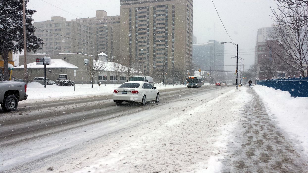
Drivers could also deal with potentially dangerous road conditions.
"Motorists are advised to exercise caution due to rapidly accumulating snowfall," Environment Canada says. If visibility is reduced while out on the roads, EC advises to slow down and watch for tail lights in front of you.
The Weather Network is calling for the snow to continue on through the early afternoon in southern Ontario.
The 6ix though is expected to get flurries five days this week, so Torontonians may want to throw on their warm winter coats because it is going to be a snowy one out there.
Ontario's Weather Could Hit Some Areas With 10 cm Of Snow & Driving Might Suck Today
Source: News Article Viral


0 Comments