

Break out the shovels, Ontario! A new forecast says the province can expect a round of snow squalls this week, and it doesn't sound pretty.
Ontario's weather forecast says multi-day storms will cause "whiteout conditions" and bring in over 20 centimetres of snow to parts of the province, with multiple weather warnings already in effect.
According to The Weather Network, Southern Ontario is in for its "first significant snow squalls of the season," as temperatures cool and bands of snow form over Lake Huron and Georgian Bay.
"The coldest air of the season will whip up a multi-day round of snow squalls across southern Ontario, with whiteout conditions and heavy blowing snow likely to impact travel conditions," says the outlet.
Drivers are being urged to prepare for the bad weather, and should expect "rapidly changing conditions over short distances," low visibility and possible road closures.
Several Environment Canada weather alerts have been issued for the province, with snow squall warnings for areas including Barrie-Orillia-Midland, Dufferin-Innisfil, Grey-Bruce and Sault Ste. Marie-Superior East, and snow squall watches for areas like Huron-Perth, Waterloo-Wellington and the York-Durham region.
The weather agency warns that snowfall amounts from 20 to 35 centimetres are expected in certain areas, with higher amounts possible, and that "intense snowfall rates" exceeding 5 centimetres per hour could take place.
"Consider postponing non-essential travel until conditions improve," reads the warning.
The snowstorm will start on Monday, impacting the traditional snow belt areas and eventually making its way to the Greater Toronto Area and Kitchener-Waterloo regions, according to TWN.
On Monday, the snow squalls will target the Grey-Bruce and Muskoka regions, in particular. By Tuesday, the squalls will be on the move, and the "core of the cold" will also be at its peak, meaning daytime highs might not even reach freezing in Toronto.
During the morning commute, drivers on Highways 401 and 400 north will likely see a period of intense snowfall, gusty winds and limited visibility due to blowing snow.
"In all, between 10-20 cm of snow may fall through Tuesday, with locally higher amounts possibly exceeding 30 cm in the heaviest snow bands," says TWN.
The outlet says that "brief bursts of snowfall" could move through the GTA and Greater Hamilton Area into Tuesday.
Through Wednesday, the city is set to see less than 2 centimetres of snow, while areas north of Toronto like Elora and Orangeville could see 5-10 centimetres.
Fortunately, things should look better past Wednesday, with milder air pushing into southern Ontario and bringing temperatures to near or slightly above seasonal.
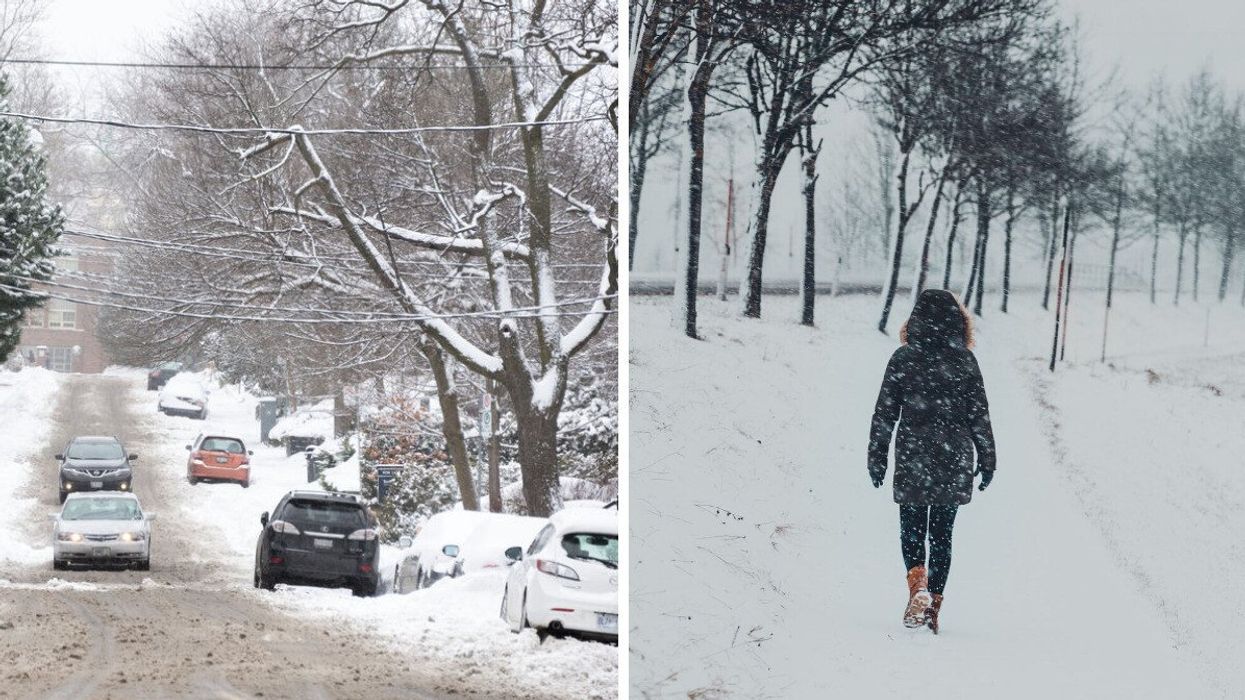
This article's cover image was used for illustrative purposes only.
Ontario's Weather Forecast Calls For Snow Squalls This Week & Some Areas Could Get Over 20 cm
Source: News Article Viral


0 Comments