

After experiencing multiple winter storms and with some communities getting buried in snow last week, Ontario is in for another round of winter weather.
Ontario's weather forecast says residents can expect a "wintry mess" this week that's likely to impact travel as icy conditions and widespread snow hit the province, according to experts.
With ice pellets, freezing rain and wet snow in the forecast, here's how the weather is set to impact things this week.
Things will kick off on Monday with snow moving in on the Greater Toronto Area and southern Ontario.
Periods of light snowfall are expected throughout the day, according to The Weather Network. Those on the shores of Lake Huron could be looking at another 5 centimetres of accumulation.
Elsewhere in the province, only a couple of centimetres is likely to be seen. However, things could become slippery by Monday evening, especially during the commute home.
The snowfall on Monday is being called a "snow appetizer" for what's in store on Tuesday.
On January 23, a "more potent system" will move in, bringing bands of heavy snowfall.
Across the Golden Horseshoe (which includes the Lake Ontario shore from Oshawa to St. Catharines, the GTA and Hamilton) around 10 centimetres of snow is expected, with 10-15 centimetres expected from London to the Lake Huron shores.
The snow is also expected to impact both morning and evening commutes on Tuesday as snow accumulates. Drivers are being told to plan ahead and be prepared for slower travel times.
Significant weather outlooks for Monday to Thursday \xf0\x9f\x91\x87\n\n\xe2\x9d\x84\xef\xb8\x8f Up to 10 cm of snow over NE ON Mon and Thu and over S ON Tue.\n\n\xf0\x9f\xa5\xb6 Wind chill values of up to - 45 near Hudson Bay Mon and Tue.\n\n\xf0\x9f\xa7\x8a Freezing rain over S ON Tue and Thu and over NE ON Thu.\n\n#ONStorm #ONwx— (@)
In the Windsor area, there's also the possibility of ice pellets, which will make for slippery road conditions.
Through Wednesday, Windsor and Leamington are expected to see the most ice pellet accumulation, with totals of around 20 millimetres, while areas like Sarnia, London and Port Stanley are set to accumulate lesser totals of around 2 millimetres.
End to chill in sight
While the extreme cold temperatures in southern Ontario have lessened, many cities are still feeling the cold on Monday, with Toronto feeling like a chilly -9 C with the wind chill and areas like Ottawa and Barrie seeing wind chill values in the negative double digits.
However, things are looking up — according to TWN, a warm-up is in the forecast, with an "extended thaw" predicted for southern Ontario later this week.
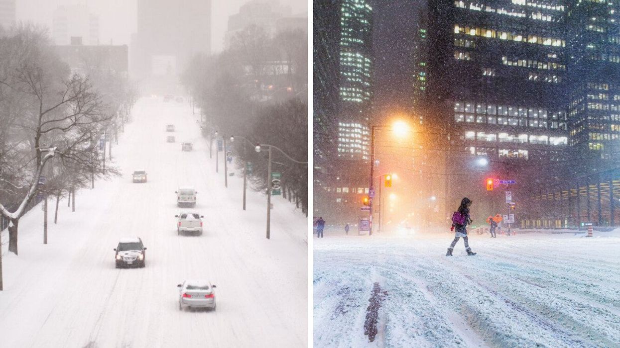
This article's cover image was used for illustrative purposes only.
Ontario's Weather Forecast Calls For A 'Wintry Mess' This Week & 'Travel Issues Are Likely'
Source: News Article Viral


0 Comments