

After seeing multiple snow squalls and some of the coldest temperatures of the year, Ontario isn't quite in the clear yet, with more snow storms moving in this week.
Ontario's weather forecast says the province is in for back-to-back systems that will deliver up to 25 centimetres of snow along with more chilly weather.
With the weather potentially set to impact weekend plans, here's what you need to know about the storms.
According to The Weather Network, snowfall will spread across the Golden Horseshoe and southwestern Ontario on Thursday. Drivers are warned that commutes will likely be impacted, and to expect things to be slow.
Southwestern Ontario will see the snow first in the late evening on Thursday. It will continue through the overnight for the Greater Toronto Area and Niagara region, and end during the Friday morning commute, TWN says.
Between 2 and 5 centimetres are expected west of the GTA, with around 5 centimetres for the city of Hamilton, and 5-10 centmetres predicted for London and Windsor.
The heaviest snow totals are expected along Lake Erie shores and the Niagara Peninsula, with as much as 20 centimetres in the forecast.
Significant Weather Outlook for Thursday & Friday \xf0\x9f\x91\x87\n\n\xe2\x9d\x84\xef\xb8\x8f Snow squalls off Lake Huron & Georgian Bay \xe2\x9e\xa1\xef\xb8\x8f Thursday\n\n\xf0\x9f\xa5\xb6 Extreme cold for parts of northern & far northern ON \xe2\x9e\xa1\xef\xb8\x8f Thursday \xe2\x9e\x95 Friday\n\n\xe2\x9d\x84\xef\xb8\x8f Lake effect snow off Lake Ontario \xe2\x9e\xa1\xef\xb8\x8f Friday\n\n#ONStorm #ONwx— (@)
On Friday, snow squalls will hit the province again. Bands off of Lake Huron and Georgian Bay will spill heavy snow along Highway 402, Highway 21, and Highway 26 near Collingwood and Blue Mountain thanks to winds coming in from the north/northwest.
Between Thursday and Saturday, Toronto could see less than 5 centimetres of snow, TWN says, while areas like Parry Sound are looking at up to 15 centimetres. Regions on the shore of Lake Huron could see up to 25 centimetres, so make sure you've got the shovels handy.
The snow isn't the only wintry weather for the province. According to TWN, another blast of Arctic air will spread in through the region Friday and Saturday, making for some chilly temperatures.
In Toronto, Saturday is set to see a high of only -10 C, with the wind chill making things feel closer to -20 C.
Several spots in northern Ontario including Sioux Lookout-Savant Lake, Fort Severn and Peawanuck also had extreme cold weather advisories issued Thursday morning as wind chill values neared - 45 C. Environment Canada says the extreme cold may return Thursday night into Friday morning.
Things are looking up though — according to the forecast, a "January thaw " is anticipated to bring warmer-than-normal temperatures to the province next week.
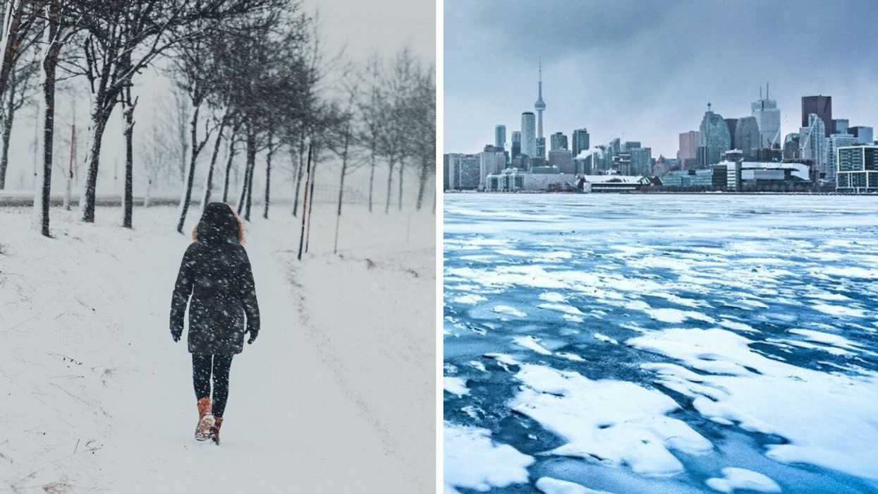
This article's cover image was used for illustrative purposes only.
Ontario's Weather Forecast Says Snowfall & Squalls To Continue With Up To 25 cm Expected
Source: News Article Viral


0 Comments