

An incoming heat wave has Ontario's weather forecast predicting yet another nasty mess of severe storms on Thursday with a chance of tornadoes.
According to The Weather Network (TWN), a round of intense heat and humidity will build across the province on Thursday, creating widespread instability and thunderstorm activity.
Ontarians living or visiting cottage country will need to be extra prepared for potentially dangerous conditions, with areas such as Timmins and Moosonee at most risk.
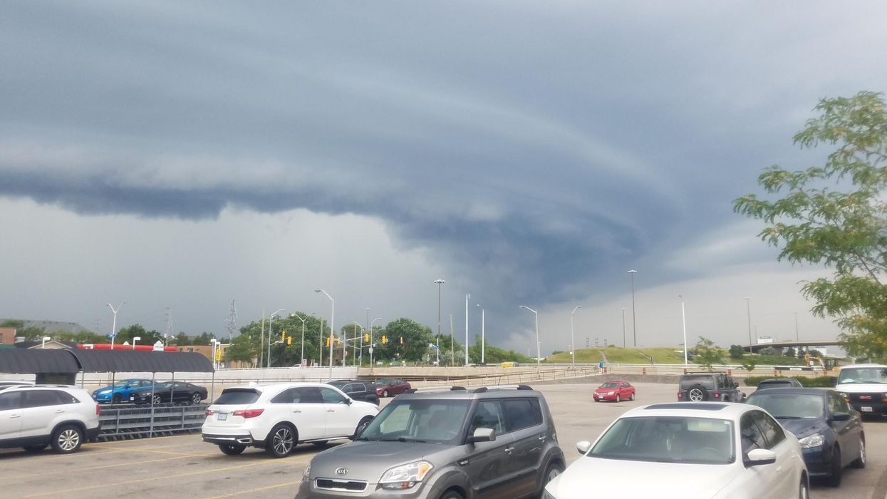
Even the most fearless of storm watchers will want to sit this one out, as experts warn there is enough wind shear in the atmosphere for storms to organize into supercells.
The rotating thunderstorm pattern could produce a nasty combination of hail, heavy rainfall and possibly one or more tornadoes. So, you'll want to ensure you have a suitable shelter to stay in when things get bad.
Southern Ontario will dodge the most dangerous weather. However, the spike in heat will likely have residents limiting time outdoors and starting a short-term relationship with their air conditioner.
Areas including Elgin County, Windsor - Essex and London - Middlesex could see daytime temperatures reach a scorching 32 degrees on Thursday, which has led to several heat warnings being issued.
"The risks are greater for young children, pregnant women, older adults, people with chronic illnesses and people working or exercising outdoors," Environment Canada warns. "Drink plenty of water even before you feel thirsty and stay in a cool place."
In conclusion, you won't have to hide inside all day, especially if you live in the south, but taking the proper precautions is necessary.
Ontario's Weather Forecast Predicts Rotating Mess Of Storms Today & Tornadoes Are Possible
Source: News Article Viral


0 Comments