

Ontario's weather forecast is calling for a snowy Sunday across southern Ontario.
You can expect snowfall and some slippery roads if you plan to be out and about in southern Ontario on December 11.
Environment Canada (EC) has issued 12 winter weather travel advisories with 5 to 10 centimetres of snow expected and the risk of "freezing drizzle" in some areas.
Impacted areas include Bancroft to Bon Echo Park, Barrie, Orillia, Midland, Belleville to Quinte and Northumberland, Brockville to Leeds and Grenville, Dufferin to Innisfil, Grey to Bruce, Halton to Peel, Kingston to Prince Edward, Parry Sound to Muskoka, Peterborough to Kawartha Lakes, Stirling to Tweed and South Frontenac, and York to Durham.
The snow is moving in from a low-pressure system, and residents can expect heavy snow to turn into flurries this afternoon.
The risk of freezing drizzle should end in the late morning, however, areas that do get a little drizzle may need to be extra cautious since it can cause a layer of ice to form underneath the snow.
EC is advising travellers to "take extra care when walking or driving in affected areas" and "slow down driving in slippery conditions."
"Surfaces such as highways, roads, walkways and parking lots may become icy and slippery," warns EC.
Toronto Police Service is also warning drivers to be wary of winter weather conditions on the roads.
\u201cWINTER WEATHER/ROAD CONDITIONS:\nAs the city experiences winter weather and snowfall accumulation today, drivers are reminded to slow down, maintain a safe following distance, and give yourself extra time to get to your destination. ^lb\u201d— Toronto Police Operations (@Toronto Police Operations) 1670766888
"As the city experiences winter weather and snowfall accumulation today, drivers are reminded to slow down, maintain a safe following distance, and give yourself extra time to get to your destination," said TPS in a. tweet.
Toronto is not under a winter travel advisory, but according to The Weather Network, the city can expect up to three centimetres of snow.
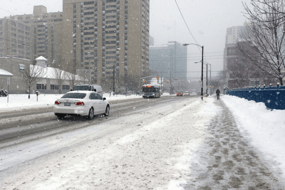
This article's cover image was used for illustrative purposes only.
Ontario's Weather Forecast Says Heavy Snow Is En Route Today & Roads Will Be A Hot Mess
Source: News Article Viral


0 Comments